A Showcase of a small Free State Town,
1823 - 1990


Herman and Jacoba Sem of Philippolis
She owned No 9 Colin Fraser Street
Visit our SURNAMES A-Z page for a list of all the names in our data-base!
Life in the Norvalspont Concentration camp
Photographer: Isaac Alexander Sutherland
The mystique of Philippolis
This little town, situated 30 km north of the Orange River, is a microcosm of South African history.
Its history dates from the creation of a mission station for the San people, in 1823. Subsequently, the San moved to Bethulie, and a Griqua community moved into Philippolis. Until 1860, the Griqua state and the mission station associated with it played a significant and symbolic role in the politics of the nearby Cape Colony and the emerging Free State Republic. In 1861, many Griquas left Philippolis, and undertook their own Great Trek to East Griqualand.
Subsequently, Philippolis became a notable Free State dorp. It always retained a rich mixture of Dutch, English, Jewish, coloured and black cultures. The liberal influence of the English missionaries and the Scottish predikant of the NG Church, Rev Colin Fraser, ensured that the Free State exercised an influence beyond its boundaries.


Why this website? ... A spatial perspective
This website is designed primarily to assist genealogists and family researchers to find out where their ancestors lived.
Family trees only take us a part of the way. We then need to know on which site or or erf or farm these people lived, or even where their grave is located in the cemeteries. It also helps to know where they were, at different periods in their lives; and that helps us to know what they were doing at the time.
Family trees provide a bare skeleton; we aim to provide warmth, colour and detail to your families' histories.
We also hope to entice you to visit Philippolis, to walk in your ancestors' footsteps. Come spend a few days in this town of your forbears!

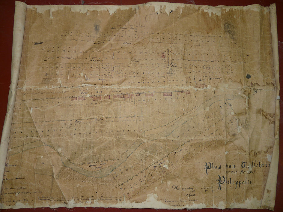
Map of Philippolis, dated 1881